There are three kinds of main geological sites in the geopark: the Zhangjiajie Forest Farm ¨C Luogutaxiaoxi group, the Luoguta ¨C Huangshizhai in the Yuntaiguan group of middle Devonian, and the Suoxi GullyˇŻs tunnel-Suoxi GullyˇŻs office of Permian. We found that there were four sites for Suoxi Gully brachiopod fossils, double toe traces of undetermined trace fossils, coral fossils of lilac solution and screw fossils of Sinan Gully at the Suoxi Gully and the Zhangjiajie National Forest Park theses two geological sites.
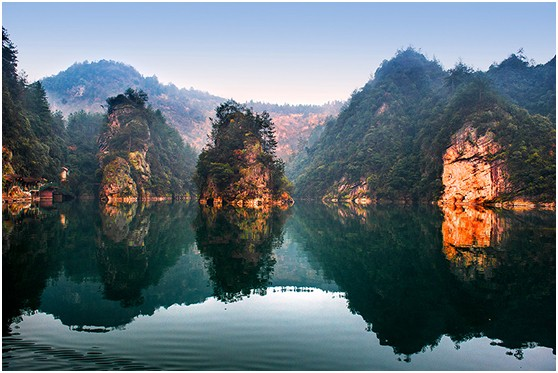
The hydrogeologic sites have the Jinbian stream, the Baofeng Lake, the Cascading waterfalls, the dark falls of the underground river underground. The underground river of the Huanglong Cave is the most of all. It has the length of 2 kilometers, the width of 5 ~ 8 meters and the depth of 3 meters. It also can provide boat trips and has 3 another dark waterfalls, with the gap reaching 40 meters.
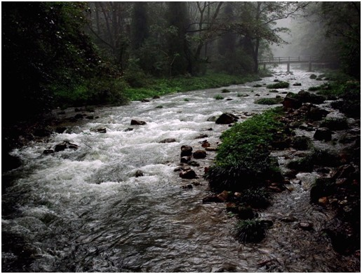
The Golden Whip Stream
The Baofeng Lake
|